zoom_in Drag to zoom
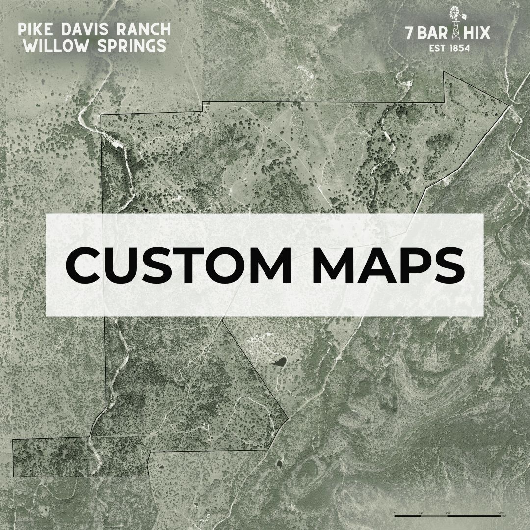
Custom Maps
$0.00 / unit
info_outline Shipping options will be selected during checkout.
Custom Map Design Consultation & Production
Work directly with the Texas A&M Natural Resources Institute’s Geospatial Analysis Team to create a custom map tailored to your property, project, organization, or conservation needs.
Whether you are looking to visualize a private ranch, highlight natural resources, support outreach efforts, commemorate a property, or develop a professional display piece for your business or project, our team can help bring your vision to life through expert cartography and data visualization.
What’s included
Your purchase includes:
- A 1-hour consultation with a Geospatial Specialist
- Collaborative discussion of your goals, preferred map style, and available data
- Development of one custom map design
- One digital proof/rendering for customer review
- One round of revisions/editing
Final production and delivery of either:
- A high-resolution digital file, or
- A professionally printed map on canvas
Approval process
After the initial map rendering is completed, a digital proof will be shared with the customer for review and approval. Customers may request one round of edits or revisions at this stage.
Once written approval of the final proof is received via email, the map design will be considered finalized and approved for production. Additional revisions requested after final approval may require extended production timelines.
Timeline, production and delivery
An initial digital proof will be provided within 10 business days following the consultation and receipt of all materials or files needed to begin the project.
- Digital map orders will be delivered electronically through a secure download link after final approval.
- Printed map orders will be professionally printed and shipped to the customer after final approval.
Production and delivery timelines may vary depending on project complexity, data availability, customer response time, and print fulfillment schedules.
Important notes
Customers are responsible for providing any property boundaries, logos, text, or supplemental materials needed for the project unless otherwise discussed during consultation.
NRI reserves the right to decline requests that fall outside available data, technical feasibility, or institutional guidelines. In this instance, NRI will refund the customer. Please get in touch with us at [email protected] with any questions.